Vancouver Waterfront Way Weekend Closure: Safety, Parking, and Injury Evidence to Know
Vancouver Waterfront Way Weekend Closure: Safety, Parking, and Injury Evidence to Know
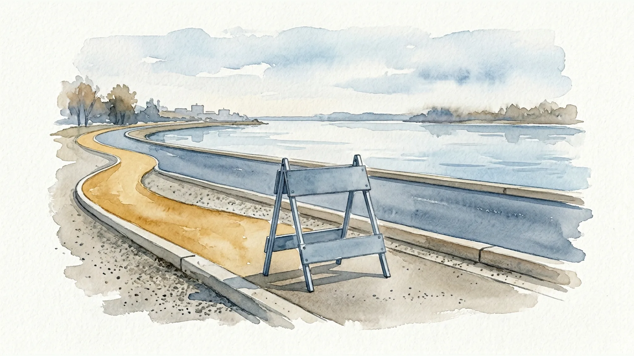
Vancouver’s summer 2026 Waterfront Way weekend closure changes how cars move through part of the waterfront, but it does not close the waterfront itself. According to the City of Vancouver, Waterfront Way between Parkway Place and Esther Street is closed to vehicles from 4 p.m. Fridays through 5 a.m. Mondays, beginning Memorial Day weekend and continuing through Labor Day weekend. (City of Vancouver)
For residents and visitors, the practical takeaway is simple: plan your route before you go, expect different traffic and parking patterns around the closure points, and pay attention to signs and barricades when you arrive. For anyone hurt near the closure, the details of the scene can matter—where the incident happened, what traffic-control devices were in place, who saw it, and what video or records may exist.
This article is for general educational information about Vancouver, Washington. It is not legal advice and does not create an attorney-client relationship. If you were injured, deadlines, available records, and responsibility can depend on the specific facts and Washington law. Because this is a date-sensitive City program, check the City’s current notice, posted signs, garage information, and transit schedules before relying on any specific access detail.
What Changed on Waterfront Way for Summer Weekends?
The City announced a seasonal weekend vehicle closure on Waterfront Way between Parkway Place and Esther Street. The closure runs from Memorial Day weekend through Labor Day weekend 2026, from 4 p.m. each Friday until 5 a.m. each Monday. (City of Vancouver)
The City described the program as a summer continuation after three weekends of piloting car-free days on the same segment. The change affects vehicle movement on that section of Waterfront Way. The City also stated that the pedestrian zone affects vehicle movement, not access to waterfront businesses or the waterfront itself. (City of Vancouver)
That distinction matters. A street segment can be closed to cars while restaurants, walkways, parking facilities, nearby streets, and waterfront destinations remain open or reachable in other ways. Visitors should still follow the most current on-street signs, barricades, garage instructions, and City updates.
Why the City Says It Is Creating a Pedestrian-Friendly Weekend Zone
The City’s stated goal is to make the waterfront more pedestrian-friendly on summer weekends. In its announcement, the City said the pilot showed that a pedestrian-focused environment improves safety and creates a more relaxed, welcoming atmosphere. The City also said reducing vehicle access helps deter unsafe driving behavior, including street racing, and creates a calmer, more predictable waterfront environment. (City of Vancouver)
Those are the City’s statements about the purpose and observed benefits of the pilot. The reviewed materials did not provide crash-count data proving that the closure reduced collisions or eliminated injury risk. It is safer and more accurate to understand the program as a City-described safety and access measure—not as a guarantee that the area is risk-free.
How to Get to the Vancouver Waterfront During the Closure
The City says people can still reach the waterfront by using nearby garages and surface lots, public transit, biking, or walking. The right option may depend on the time of day, the event schedule, weather, mobility needs, and how crowded the waterfront is that weekend.
Nearby Parking Options to Know
The City identified more than 2,000 nearby parking spaces at the Waterfront Vancouver Parking Center and Terminal 1, plus more than 6,000 surface street spaces in downtown Vancouver through Parking Kitty. The City also identified 152 bike parking spots throughout downtown Vancouver. (City of Vancouver)
Two City-listed garage options include:
- Waterfront Vancouver Parking Center, 700 W. Columbia Way: 829 total spaces, 17 ADA spaces, and 8-foot-2-inch clearance. (City of Vancouver)
- Terminal 1, 403 Quayside Place: 1,200 total spaces, 20 ADA spaces, and 9-foot-4-inch clearance. (City of Vancouver)
The City’s downtown parking page lists Waterfront District on-street parking at $3.25 per hour and general downtown on-street parking at $1.75 per hour. It also says on-street public parking north of Evergreen Boulevard is enforced 8 a.m. to 6 p.m. Monday through Friday, while south of Evergreen Boulevard it is enforced 8 a.m. to 6 p.m. all days. (City of Vancouver)
Parking rates, enforcement, access points, and availability can change. Posted signs, pay stations, garage instructions, and current City information should control for a specific block or facility.
Transit, Biking, and Walking Options
The City’s downtown-events transportation page identifies several C-TRAN options for reaching downtown, including Route 71 to Washington and 7th Street, Route 30 to 8th and Main Street, The Vine on Mill Plain to Turtle Place at 7th and Main Street, and Route 60 to 7th and Broadway Street. C-TRAN’s Route 71 page lists service to “Vancouver Waterfront” with a stop at Esther Street and Phil Arnold Way, Stop ID 6210. (City of Vancouver, C-TRAN)
The City page also states that C-TRAN local adult fare is $1.25 per ride and that youth 18 and under ride C-TRAN free anywhere in Clark County. Transit schedules and fare details should be checked close to the trip. (City of Vancouver)
The reviewed City closure notice did not specify rideshare, delivery, emergency-vehicle, ADA dropoff, resident, employee, or valet rules for the closed segment. If those details matter for your visit, look for current City guidance or on-site direction rather than assuming that a normal curbside dropoff pattern still applies.
Safety Issues to Watch Around a Car-Free Street That Still Has Moving People and Nearby Traffic
A car-free weekend zone can feel more relaxed, but it can also change how people approach the area. Drivers may turn earlier than usual. People walking, rolling, biking, or using scooters may concentrate near closure points. Garage entrances, restaurant frontage, private plazas, sidewalks, and adjacent streets may have different movement patterns than the closed segment itself.
Vancouver’s Complete Streets materials describe a City vision for a safe, accessible street system for users of all ages and abilities, regardless of travel mode. The City’s Transportation System Plan also discusses safety for people who walk, roll, bicycle, take transit, or drive, and references low-stress walking/rolling and bicycling/small-mobility networks. (City of Vancouver, City of Vancouver)
For visitors, that policy context is useful, but the practical point is more immediate: notice your surroundings. Pay attention to where cars can still move, where bikes or scooters may be traveling, where pedestrians are crossing, and whether parked or stopped vehicles are blocking visibility. Vancouver’s parking rules state that vehicles may not park in areas with No Parking signs, obstruct a bicycle lane, alley, or traffic lane, or block or park on a sidewalk or planting strip. (City of Vancouver)
If an injury occurs, these details can become important evidence. They do not automatically prove who was responsible, but they can help later reviewers understand what the scene actually looked like.
If Someone Is Hurt Near the Waterfront Way Closure, What Evidence May Matter?
If someone is injured near the closure, safety and medical needs come first. Call 911 for emergencies. For non-emergency parking or traffic concerns, the City lists non-emergency 3-1-1 and electronic concern-submission options. (City of Vancouver) After immediate needs are addressed, preserving information quickly can help because signs may move, crowds may disperse, vehicles may leave, and video may not be stored for long.
Practical Evidence Checklist
If it is safe to do so, consider documenting:
- Exact location: the nearest cross streets, building, garage entrance, restaurant, plaza, closure endpoint, or landmark.
- Date and time: including whether the incident happened during the posted Friday-to-Monday closure window.
- Photos or video of the scene: barricades, cones, signs, detours, lighting, sight lines, crowding, pavement conditions, and any blocked sidewalks, bike lanes, alleys, or traffic lanes.
- Positions of people and vehicles: where a car, bike, scooter, pedestrian, or other involved person was before and after the incident.
- Nearby access points: garage entrances, restaurant entrances, private drives, loading areas, transit stops, and crossing points.
- Witness information: names and contact details for people who saw what happened, including business, security, or event staff who responded.
- Records from the trip: parking receipts, transit records, restaurant receipts, rideshare records, scooter-app information, bike-share records, photos taken earlier, or phone location notes when applicable.
- Medical documentation: symptoms reported at the scene, urgent-care or emergency-room visits, follow-up care, and changes in symptoms after leaving the waterfront.
- Report information: officer names, incident numbers, 911 or non-emergency call details, and which agency responded if known.
- Possible video sources: nearby businesses, parking garages, private developments, City-controlled areas, police records, or other cameras that may have captured the location.
Do not assume a camera exists or that footage will be available. The main point is to identify potential sources early and record enough detail—the exact time, location, direction of travel, and nearby businesses or entrances—to make a later request more useful. Readers who want a general evidence concept refresher may also find our article on preserving nearby surveillance footage quickly useful, but that article discusses Oregon-focused examples and should not be treated as Washington legal authority.
If a rental scooter or app-based trip is involved, app screenshots, trip receipts, scooter identifiers, customer-service messages, and photos of the device can matter. Our Portland-focused discussion of rental scooter evidence that can matter after a downtown crash may be useful for evidence concepts only; Washington law and Vancouver procedures need to be evaluated separately.
Collision Reports and Vancouver Records: Useful Starting Points, Not Automatic Proof
Washington has its own collision-report and public-records channels. Do not rely on Oregon procedures for an incident that happened in Vancouver, Washington.
Washington State Patrol says that any driver, pedestrian, person on a pedalcycle, or property owner involved in a Washington collision with injury or $1,000 or more damage to any one unit must complete a Motor Vehicle Collision Report unless an officer completes a Police Traffic Collision Report. WSP’s WRECR system allows online requests for collision reports, and WSP lists a $10.50 fee for obtaining a copy under RCW 46.52.085. Report availability can lag because officer-completed reports may take time to finish and approve. (Washington State Patrol)
Vancouver Police Department records may be requested through the City’s Police Records Division. The City’s public-records page also states that Vancouver complies with Washington’s Public Records Act, RCW 42.56, and that Vancouver Police reports and other records can be requested directly from the Police Records Division. Requests may be subject to exemptions, processing time, fees, and agency-specific procedures. (City of Vancouver, City of Vancouver)
Reports can be helpful, but they are not automatic proof of every important fact. A report may reflect what was known at the time, what witnesses said, and what an officer observed. It may not capture every sign, barricade, camera angle, injury symptom, or later-discovered detail.
Temporary Street Closures Can Raise Traffic-Control Questions, but Avoid Jumping to Liability Conclusions
Street closures and temporary traffic-control setups can matter after an injury because the physical scene may change quickly. If someone is hurt near a closure point, evidence about signs, barricades, cones, detours, sight lines, access points, and who controlled nearby areas may be important.
Washington law includes general authority for a city or town to close or restrict a city street to all vehicles or classes of vehicles for a definite period when statutory conditions are met, including when unrestricted vehicle use would be dangerous to traffic. Washington law also contains notice requirements for street closures covered by RCW 47.48.020, with exceptions for emergencies or closures lasting 12 hours or less. (RCW 47.48.010, RCW 47.48.020)
The reviewed fact sheet did not verify the City’s specific publication or posting record for this seasonal closure, and it did not identify the exact traffic-control devices used at each endpoint. Vancouver’s street-use permit materials also discuss right-of-way use, safety hazards, traffic congestion, liability, and traffic-control plans, but those materials should not be treated as proof that the private permit process governs this City-run closure. (City of Vancouver)
In other words: traffic-control details can be important evidence, but responsibility depends on the facts, the entities involved, and Washington law. Avoid assuming that the closure itself proves negligence—or that it rules negligence out.
When to Consider Getting Legal Advice After a Waterfront Injury
Consider case-specific legal guidance if injuries are significant, the facts are disputed, multiple parties may be involved, or evidence may disappear quickly. That can be especially true when an incident involves a vehicle, bike, scooter, parking area, restaurant frontage, garage entrance, private plaza, blocked sidewalk, temporary sign, barricade, or closure endpoint.
Johnson Law can discuss the facts of a Vancouver or Clark County injury incident and help identify evidence or records that may be worth preserving or requesting. For broader local context, our Vancouver, Washington personal injury page and Vancouver car accident guidance explain how location, agencies, records, and cross-river issues can affect injury claims. Any evaluation is fact-specific. No article can determine fault, responsibility, or the value of a potential claim without reviewing the actual incident.
FAQ
Is Vancouver Waterfront Way Closed Every Weekend in Summer 2026?
Based on the City’s notice, Waterfront Way between Parkway Place and Esther Street is closed to vehicles from 4 p.m. Fridays through 5 a.m. Mondays from Memorial Day weekend through Labor Day weekend 2026. Because the program is date-sensitive, check the City’s latest notice and on-street signs before relying on the schedule.
Does the Waterfront Way Closure Mean Waterfront Businesses Are Closed?
No. The City says the pedestrian zone affects vehicle movement, not access to waterfront businesses or the waterfront itself. Visitors may need to use different parking, walking, biking, or transit routes during the closure.
Where Can I Park for the Vancouver Waterfront During the Closure?
The City points to nearby garages, Terminal 1, surface lots, and downtown parking options. The City lists the Waterfront Vancouver Parking Center at 700 W. Columbia Way and Terminal 1 at 403 Quayside Place as major nearby parking facilities. Availability, rates, enforcement, and garage access can change, so current signs and agency information should control.
What Should I Photograph If I Am Hurt Near the Waterfront Way Closure?
If it is safe, photograph the exact location, signs, barricades, cones, detours, sight lines, lighting, vehicle or scooter positions, bike or pedestrian paths, blocked sidewalks or lanes, nearby businesses, garage entrances, and any visible cameras. Also document the date, time, weather, and names of witnesses.
How Do I Get a Collision Report in Washington After a Waterfront Crash?
Washington State Patrol provides WRECR access for Washington collision reports, and Vancouver Police or City public-records channels may be separate options depending on the incident. Availability, fees, timing, and exemptions can vary. If an officer did not complete a report, Washington reporting rules may require involved people to complete a Motor Vehicle Collision Report when the collision involved injury or $1,000 or more damage to any one unit.
Can the City Be Responsible for an Injury Near a Temporary Street Closure?
Responsibility depends on the specific facts, responsible entities, notice, traffic-control setup, records, and Washington law. The existence of a temporary closure does not answer that question by itself. Preserve evidence and seek case-specific legal advice if the injury is serious or responsibility is disputed.
Sources
- City of Vancouver, “Pedestrian-friendly Waterfront Way weekends are here for the summer”
- City of Vancouver, “Downtown Parking”
- City of Vancouver, “Getting to Downtown Vancouver Events”
- C-TRAN, “#71 Highway 99”
- City of Vancouver, “Complete Streets”
- City of Vancouver, “Transportation System Plan”
- Washington State Patrol, “Collision Reports”
- City of Vancouver, “Police Records Division”
- City of Vancouver, “Neighborhood Parking and Traffic”
- City of Vancouver, “Public Records Request”
- Washington Legislature, RCW 47.48.010
- Washington Legislature, RCW 47.48.020
- City of Vancouver, “Street Use Permits”
Client-First Fee Promise
Client First = Bills First, Fees Second
Your unpaid medical bills do not have to make your lawyer's fee bigger. Johnson Law subtracts qualifying medical bills before calculating our fee, helping clients keep more of their settlement.
Applies to qualifying cases. Results vary.