82nd Avenue Safety Improvements: What Changed at Portland’s New Pedestrian Crossings in 2026
82nd Avenue Safety Improvements: What Changed at Portland’s New Pedestrian Crossings in 2026
Portland Bureau of Transportation (PBOT) constructed six improved crossings on 82nd Avenue between NE Klickitat and SE Tolman streets. The locations use different combinations of signals, medians or refuge areas, marked crosswalks, accessible curb ramps, bicycle features, and restrictions on vehicle movements.
As of August 27, 2026, PBOT said the project was nearing substantial completion. The agency did not say that final or formal substantial completion had occurred. That distinction matters because some signal, striping, and planting work remained.
This article is a dated look at the project’s status, the different controls at each crossing, and the historical collision patterns PBOT cited in explaining the work. It does not evaluate whether the project has reduced crashes. The available sources do not provide a post-construction safety study for these six locations.
Key Takeaways
- PBOT reported that the project was nearing substantial completion as of August 27, 2026, with some signal connections, permanent centerline striping, and tree work still remaining.
- The six constructed crossings are at NE Klickitat, NE Schuyler, SE Clinton, SE Schiller, SE Ramona, and SE Tolman. They do not all use the same controls.
- PBOT’s historical data identify recurring involvement of pedestrians, bicyclists, turning vehicles, unsignalized locations, and driveway movements. The agency’s cited datasets cover different periods and should be read separately.
- Signals, medians, refuge areas, and turn restrictions address different types of conflicts. Their general purpose is not proof of a measured safety result at these sites.
- After a collision, the exact configuration and controls present at that location and time may be relevant evidence, but roadway configuration alone does not establish fault or causation.
Project Status as of August 27, 2026
In its August 27 project update, PBOT said the 82nd Avenue Crossings Project was nearing substantial completion and that the remaining work was expected to require only intermittent lane closures.
The work still identified by PBOT included signal connections, permanent centerline striping, and tree planting or replacement scheduled for September 2026. The update did not establish that those scheduled tasks were later completed.
Two of the project’s signals had recently entered service. PBOT activated the crossings at SE Ramona and SE Tolman on August 6, 2026, making them available for public use. Their activation did not mean that all landscaping, striping, signal-connection, or other remaining project work was finished.
The Six Crossings Are Not Identical
Calling these locations “six new signals” would blur important differences. PBOT describes two pedestrian half-signals, a pedestrian- and bicycle-priority signal, a new traffic signal, a signalized pedestrian crossing, and a signalized pedestrian and bicycle crossing. The vehicle-movement restrictions also vary by location.
PBOT identifies concrete medians or protected median refuges, accessible curb ramps, and marked crosswalks as parts of the project, with bicycle features at Schuyler and Tolman. The location-specific controls are as follows.
NE Klickitat: Pedestrian Half-Signal and Restricted Vehicle Movements
The NE Klickitat crossing has a pedestrian half-signal, along with a median or protected refuge, curb ramps, and a marked crosswalk. The median prohibits left turns and cross-street motor-vehicle travel across 82nd Avenue.
NE Schuyler: Pedestrian- and Bicycle-Priority Signal
NE Schuyler has a pedestrian- and bicycle-priority signal and a bicycle feature, as well as a median or protected refuge, curb ramps, and a marked crosswalk. Left turns and cross-street motor-vehicle travel across 82nd Avenue are prohibited.
The available sources do not establish the exact bicycle phase, detection settings, pedestrian interval, or protected-turn operation at this crossing.
SE Clinton: Pedestrian Half-Signal and Median Controls
SE Clinton has a pedestrian half-signal, a median or protected refuge, curb ramps, and a marked crosswalk. As at Klickitat and Schuyler, the median prohibits left turns and cross-street motor-vehicle travel across 82nd Avenue.
SE Schiller: New Traffic Signal With a Narrower Restriction
SE Schiller has a new traffic signal, a median or protected refuge, curb ramps, and a marked crosswalk. PBOT says southbound drivers may no longer turn left into one driveway south of the intersection; other previously permitted movements remain permitted. Schiller therefore does not have the same broad left-turn and cross-street restrictions as Klickitat, Schuyler, or Clinton.
SE Ramona: Signalized Pedestrian Crossing and Left-Turn Restriction
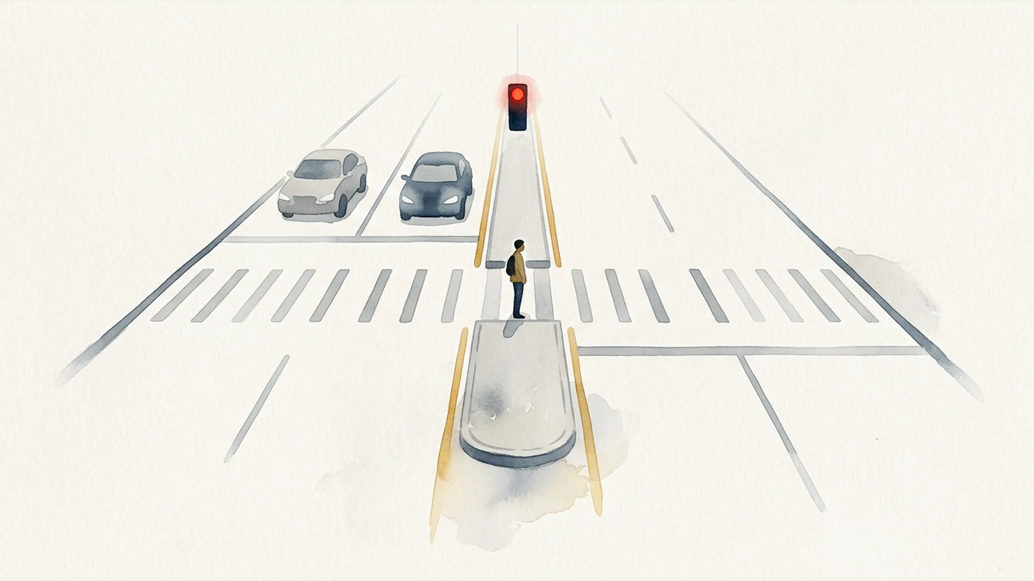
The SE Ramona signalized pedestrian crossing entered public use on August 6, 2026. According to PBOT’s construction advisory, pedestrian activation causes a red indication for traffic on 82nd Avenue, while stop signs control the side-street approaches.
The median prohibits left turns at Ramona. PBOT describes right turns and through travel on 82nd Avenue as remaining available. PBOT does not describe Ramona as prohibiting all motor-vehicle travel across 82nd Avenue, so that broader restriction should not be inferred.
SE Tolman: Signalized Pedestrian and Bicycle Crossing With Cross-Street Closure
The signalized pedestrian and bicycle crossing at SE Tolman also entered public use on August 6, 2026. As documented for Tolman, pedestrian activation causes a red indication for 82nd Avenue traffic and stop signs control the side-street approaches.
At this location, the median prohibits left turns and motor-vehicle travel across 82nd Avenue. Right turns and through travel on 82nd Avenue remain available as PBOT described. The approved sources do not provide enough detail to state the crossing’s exact bicycle phase, pedestrian interval, or detection settings.
Why SE Lambert Is Not Part of the Six
SE Lambert is not one of the six constructed crossings discussed in this project update. PBOT says Lambert was designed but deferred because project funding was insufficient. The agency lists construction after 2026 through a separate project. Its planned features should not be described as already built, and PBOT’s information does not establish a funded final schedule or scope.
The Crash Patterns PBOT Said the Project Was Designed to Address
PBOT’s explanation of the project relies on several historical datasets. Those figures illuminate recurring types of conflicts on 82nd Avenue, but they cover different periods and use different definitions. They should not be added together or treated as one continuous dataset. They also do not establish the cause of any particular collision.
PBOT’s Unspecified “Most Recent 5-Year Period”
On the project page, PBOT states that, during its “most recent 5-year period,” all nine fatal crashes and more than half of 59 serious-injury crashes on 82nd Avenue in Portland involved either pedestrians or cars turning at locations without signals.
PBOT’s source does not identify the calendar years covered by that phrase. The period therefore should not be assigned inferred start and end dates.
The Separate 2012–2021 Corridor Record
For the separately identified period from 2012 through 2021, PBOT reported 14 people killed and 122 people seriously injured on 82nd Avenue south of Lombard Street. In its January 2024 design release, the agency said more than 90% of the 14 people killed were pedestrians, bicyclists, or people in cars turning left at unsignalized locations. It also said two-thirds of the 122 people seriously injured were among those groups or were in vehicles crossing at unsignalized locations.
PBOT separately listed four preliminary deaths for 2022–2023. That preliminary figure is distinct from both the 2012–2021 record and the agency’s unspecified “most recent 5-year period.”
The Separate 2015–2019 Conflict Record
PBOT’s 82nd Avenue Corridor Atlas provides another distinct view of the corridor. For 2015–2019, PBOT identified a subset of 142 “Vision Zero crashes.” PBOT defines that subset as fatal or serious-injury crashes involving motor-vehicle occupants plus all reported pedestrian or bicycle crashes.
The Atlas also reports people counts: 74 pedestrians and 30 bicyclists were hit, and seven of the nine people killed were pedestrians or bicyclists. Separately, movement counts from the broader crash record include 228 crashes involving left turns away from signalized intersections and 175 crashes involving driveway movements.
These measures use different units, may overlap, and should not be added together. They also should not be merged with figures from the other reporting periods.
How Medians, Refuge Areas, Signals, and Turn Restrictions Address Conflict Points
The project combines treatments that work in different ways. Federal transportation guidance can explain those general mechanics, but it is not a before-and-after evaluation of the Portland locations.
Medians and Pedestrian Refuge Areas
The Federal Highway Administration (FHWA) explains that a pedestrian refuge island can allow a person to cross one direction of traffic at a time. The island provides a place to wait before completing the second part of a multilane-road crossing.
That explains the basic purpose of a refuge area. It does not show how the six 82nd Avenue crossings have performed since construction.
Restricting Left Turns and Cross-Street Movements
Raised medians and turn restrictions can physically prevent selected left-turn or crossing movements, removing particular conflict points from an intersection. On this project, the broader left-turn and cross-street restrictions apply at Klickitat, Schuyler, Clinton, and Tolman. Ramona has a documented left-turn restriction. At Schiller, southbound drivers may no longer turn left into one driveway south of the intersection, while other previously permitted movements remain permitted.
These controls can also change where drivers make turns or cross a corridor. FHWA research on turning-movement restrictions cautions that downstream effects and possible crash migration require site-specific analysis. A general explanation of how a treatment works is not a guarantee of a result at a particular location.
Separating Movements With Signals
Signal phases can separate conflicting pedestrian, bicycle, through, and turning movements in time. At Ramona and Tolman specifically, PBOT documented that pedestrian activation produces a red indication for 82nd Avenue traffic while stop signs control the side streets.
That description should not be generalized to the other four crossings. The sources also do not confirm the exact pedestrian intervals, bicycle phases, detection settings, or turn phases operating at every location.
Why the Exact Roadway Configuration Can Matter After a Collision
If a collision occurs near one of these crossings, the useful question is not simply whether the project existed. An investigation may need to determine what was present and operational at the exact location on the collision date.
Match the Investigation to the Location and Date
Potential questions include:
- Which permanent or temporary configuration was in place?
- Which signal indications and movement restrictions applied?
- Was the relevant signal or other feature operating?
- Did roadway geometry, sight distance, construction activity, or another condition affect visibility?
- Was signal-connection, striping, or punch-list work still underway?
These are investigation questions, not findings of fault. Historical corridor statistics likewise provide context but do not decide what happened in an individual event. Readers seeking a broader explanation can review how Portland High Crash Network data can guide an injury investigation.
Distinguish the Types of Records
Potentially relevant material may include agency crash statistics, signal-operation records, roadway plans, information about geometry, prior complaints or crashes, photographs, police materials, driver reports, and witness testimony. Oregon Supreme Court decisions such as Stevenson v. State Department of Transportation and Little v. Wimmer illustrate that signal operation and visibility, roadway geometry, sight distance, prior complaints, or prior crashes may become relevant evidence depending on the dispute.
Not every record is available, relevant, or admissible for the same purpose. For example, ORS 802.240(5) generally bars collision reports filed under the statutes it specifies from use in a civil or criminal trial arising from the collision, subject to statutory exceptions. Under ORS 40.185, evidence of a subsequent remedial measure generally is inadmissible to prove negligence or culpable conduct, although the rule permits its use for another proper purpose in some circumstances. A later roadway improvement therefore is not automatically an admission that an earlier configuration was negligent.
People looking for information about evidence issues in Portland pedestrian injury claims should keep and document what is available, including photographs of the location and controls, while recognizing that the significance of any item depends on the facts and applicable law.
Configuration Does Not Decide Liability
Roadway configuration alone does not establish negligence, causation, notice, or public-body liability. Depending on the claim, Oregon’s comparative-fault rule under ORS 31.600 and the public-body notice requirements in ORS 30.275 may also matter. Public-body immunity can be disputed as well.
Those issues are fact-specific. The presence of a signal, median, turn restriction, prior complaint, or historical collision record does not by itself determine responsibility for a later crash.
What This 2026 Update Does—and Does Not—Show
As of August 27, 2026, six improved 82nd Avenue crossings had been constructed and the project was nearing substantial completion. The locations use different controls aimed at conflict types that also appear in PBOT’s historical corridor data.
The update does not establish that the project was finally complete. It does not supply every operating detail for every signal. Most importantly, it does not provide measured post-construction crash results for the six locations. A fair assessment of any change in crash patterns would require appropriate before-and-after information and site-specific analysis that the approved sources do not provide.
Frequently Asked Questions
Which six 82nd Avenue crossings were improved in this project?
The six constructed locations are NE Klickitat, NE Schuyler, SE Clinton, SE Schiller, SE Ramona, and SE Tolman. SE Lambert is not included in that count. PBOT says Lambert was deferred because funding was insufficient and lists its construction after 2026 through a separate project.
Was the 82nd Avenue Crossings Project complete in August 2026?
PBOT said the project was nearing substantial completion as of August 27, 2026. Remaining work included signal connections, permanent centerline striping, and tree planting or replacement scheduled for September 2026. The approved sources do not establish that final or formal substantial completion had occurred.
Do all six crossings use the same kind of signal?
No. Klickitat and Clinton have pedestrian half-signals. Schuyler has a pedestrian- and bicycle-priority signal. Schiller has a new traffic signal. Ramona has a signalized pedestrian crossing, and Tolman has a signalized pedestrian and bicycle crossing. Their movement restrictions and other operating details also differ.
What do the new medians change for drivers?
The documented changes are location-specific. Left turns and cross-street motor-vehicle travel across 82nd Avenue are prohibited at Klickitat, Schuyler, Clinton, and Tolman. Ramona prohibits left turns. At Schiller, southbound drivers may no longer turn left into one driveway south of the intersection; other previously permitted movements remain permitted. Right turns and through travel on 82nd Avenue remain available as PBOT described.
Do the new crossings prove that crashes will decline?
No. The sources describe project features, historical crash patterns, and the general mechanics of safety countermeasures. They do not report measured post-construction crash reductions at these six crossings.
Why can signal and roadway records matter after an 82nd Avenue collision?
Those records may help document the controls, visibility, geometry, movement restrictions, and temporary or permanent configuration present at a particular place and time. Their availability and legal significance vary, and they do not independently prove fault or liability.
Educational Information, Not Legal Advice
This article provides general educational information about a dated Portland transportation project and types of evidence that may be relevant after a collision. It does not assess any particular event, establish responsibility, or provide individualized legal advice.
Sources
- PBOT — 82nd Avenue Crossings Project
- PBOT — Ramona and Tolman Construction Advisory
- PBOT — 82nd Avenue Corridor Atlas
- PBOT — January 31, 2024 Design and Safety Release
- FHWA — Medians and Pedestrian Refuge Islands
- FHWA — Safety Evaluation of Turning Movement Restrictions
- Oregon Revised Statutes, Chapter 30
- Oregon Revised Statutes, Chapter 31
- Oregon Revised Statutes, Chapter 40
- Oregon Revised Statutes, Chapter 802
Client-First Fee Promise
Client First = Bills First, Fees Second
Your unpaid medical bills do not have to make your lawyer's fee bigger. Johnson Law subtracts qualifying medical bills before calculating our fee, helping clients keep more of their settlement.
Applies to qualifying cases. Results vary.